
Territorial assessment and socioecological evidence
Understanding a territory starts with connecting what is known about its ecosystems and the people who live there.
Scientific support for consultancies, organisations and environmental projects that need to bring together scattered evidence, assess its scope and identify missing information. With particular attention to salt flats, wetlands and extreme environments.
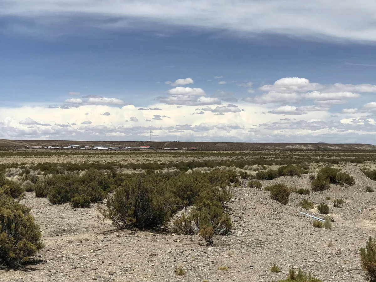
Five ways to support your project
Focused assignments to review, analyse and integrate existing information. Scope depends on your question, the available evidence and the expertise required.
Territorial evidence assessment
Integrate existing information on ecosystems, land uses and environmental pressures to build a contextual understanding of the area of interest.
Ecosystem evidence synthesis
Review studies and reports, compare findings and distinguish agreement, uncertainty and evidence gaps.
Knowledge gaps and study design
Assess what is known and what is missing to guide further research or improve comparability across sources.
Synthesis of participatory processes
Analyse authorised records from existing surveys, meetings or workshops. Organise themes, perspectives and priorities while retaining traceability.
Scientific planning
Support capacity mapping, research priorities, roadmaps and the definition of monitoring indicators.
A documented foundation for understanding a territory
We use public information or client-provided materials authorised for the work. Sources, coverage, dates and limitations are reviewed before findings are integrated.
- Studies and environmental information
- Articles, technical reports, biodiversity records, planning documents and existing spatial information.
- Participation records
- Survey results, minutes, interviews or workshops conducted by authorised teams, with personal data and agreed conditions of use protected.
- Project capacities and objectives
- Information on initiatives, technical capabilities and project questions to develop relevant priorities and indicators.
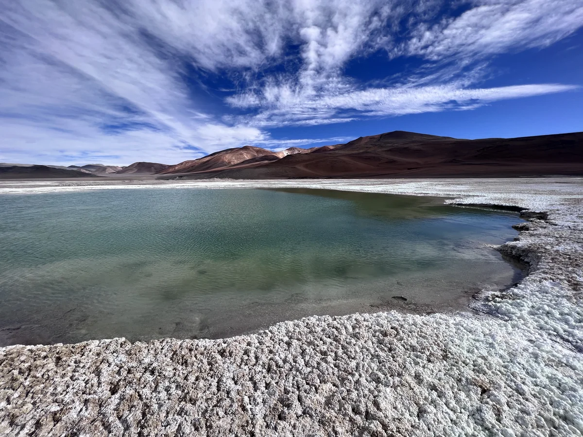
An integrated interpretation with explicit limits
We connect ecological evidence with environmental and territorial context. We identify the source and strength of each finding and explain which conclusions require additional work or review by other specialists.
From an area of interest to an answerable question
Define the question
Agree on the territory, timeframe, report users and the decisions or studies the work will inform.
Review the sources
Identify available information, permissions for its use and gaps affecting interpretation.
Integrate and compare
Organise evidence, compare findings and document differences in scale, methods and context.
Deliver evidence-based priorities
Present findings, gaps and recommendations, distinguishing documented information, interpretation and future needs.
Organised knowledge for your next decision
Materials are agreed in writing before work begins. Each proposal specifies sources, methods, deliverables and timing.
Assessment or evidence report
Knowledge synthesis, territorial context, documented pressures and limitations.
Documented matrices and profiles
Source inventories, comparison tables, ecosystem profiles or synthesis of participation records, depending on the assignment.
Knowledge gaps and roadmap
Priority questions, study recommendations and monitoring indicators where included in scope.
What this support covers
Is this a baseline survey or an environmental impact assessment?
The service focuses on analysing existing information and providing scientific support. It is not offered as a field baseline survey or a complete environmental impact assessment and does not replace studies required by authorities.
Does it include fieldwork or social science studies?
Field data collection, specialist mapping, anthropological studies and legal analysis are not included by default. If needed, the required expertise and its availability are assessed before a proposal is agreed.
Do you conduct Indigenous consultation or represent communities?
This service does not constitute Indigenous consultation or community representation. Synthesis uses existing, authorised records and respects participation agreements, confidentiality and conditions on the use of knowledge.
How is the fee determined?
It depends on the area covered, volume of sources, questions and requested products. We first review the assignment and provide a written proposal for approval.
What do you need to understand about your territory?
Tell us the area of interest, your question and which information is available. A general description is enough to begin; do not include personal data or confidential community or third-party information.